
Last Updated on 4 years by Christopher G Mendla
Taking Virtual Vacations via Google Maps is a way for a lot of people who are currently stuck in their homes due to the Coronavirus to do something uniquely entertaining.
It is March 17th and the situation isn’t getting any better. People are stuck in their homes. The question is, “What can you do while stuck in your home?”. What happens when you can’t take the vacations you planned? One possible answer is to use Google Maps to take virtual tours. You can drop in anywhere on the world and ‘wander’ through the streets or delve into photos inside museums, castles and even stores.
Getting Started with your virtual tour.
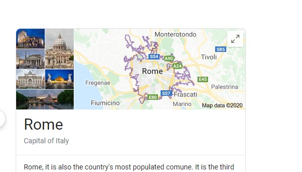
All you need is a computer and Internet access. Fire up your favorite browser and simply search for a location. In this case, Rome Italy.

You should see a map in the results. Simply click on the map
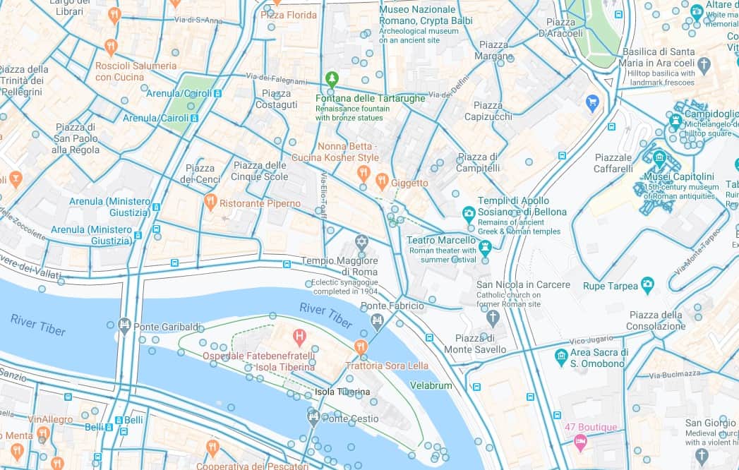
You will then see a whole page map. Zoom in on the city itself

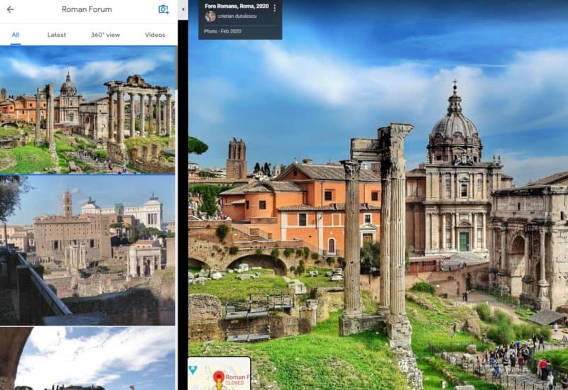
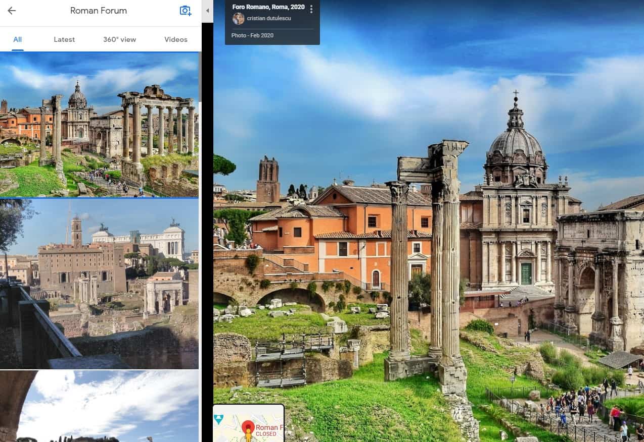
Viewing photos of a place
As you zoom in, you will see details of the location including museums, restaurants, parks and even street views. The little castles are indications that it is some type of historical site. We’ll click on the Fora Roma or Roman Forum.
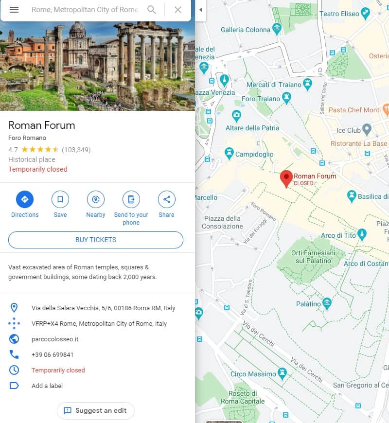
This will bring up some details on the left. In this case, the Roman Forum is ‘temporarily closed’ due to the Coronavirus epidemic. Scroll down on the left side and you will see Photos. Click on that . You can scroll down through the photos and they will appear in large format on the right side of your screen. You can click the 360 images to only see images shot in a 360 degree view.
Street view
If you go back to the map view and click on the little guy in the bottom right you will toggle the street view. Not every location has a street view for various reasons. However, most locations will have the street view.
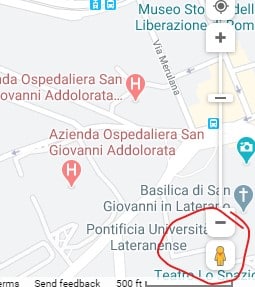
All you need to do is click on any of the blue lines (Streets) or any of the circles (individual photos)
Below is an example of the street view for the Pantheon. In google maps, this is a 360 degree image. If you are in a 360 degree image inside a building, don’t forget to look up.
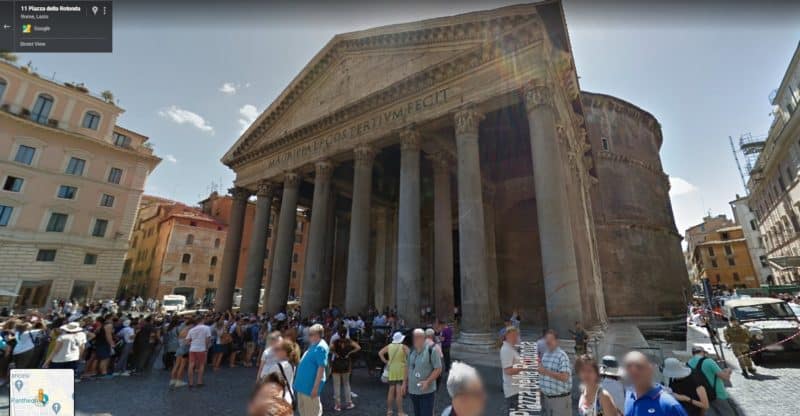
The back arrow at the top left will take you back to the street view.
If you are in a street view, not a photo view, you should see an arrow. Clicking on that will “Move you down the street”
Summary
While this isn’t the same as actually visiting a location it can be a pleasant and enriching experience either individually or as a family. Try dropping in on random places
Additional tips
Try searching for things like:
- Museums
- Castles
- Military Museums
- Churches
- Battlegrounds
- Art Museums
